Matthiessen State Park & Starved Rock
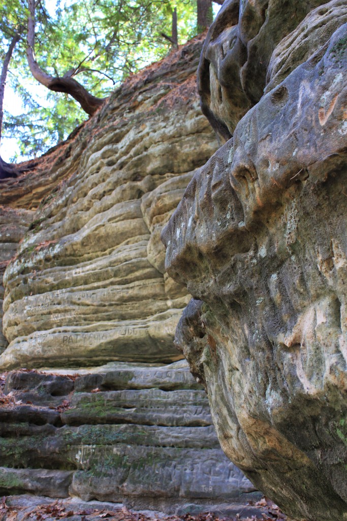
About halfway between Chicago and the Iowa state line, the reliably flat topography of Illinois makes a dramatic shift. Here you’ll find the dells. These great canyons formed when glacial pressure overpowered the surrounding limestone and sandstone, piercing through the earth to make way for flora, fauna, and eventually watersport enthusiasts. Nestled beneath the broad, blue Illinois River, the geology of Matthiessen State Park rolls and juts and spikes and pools before arching clear overhead, its basic elements proudly on display. Wood, water, earth. Calcium, iron, carbon.
![]()
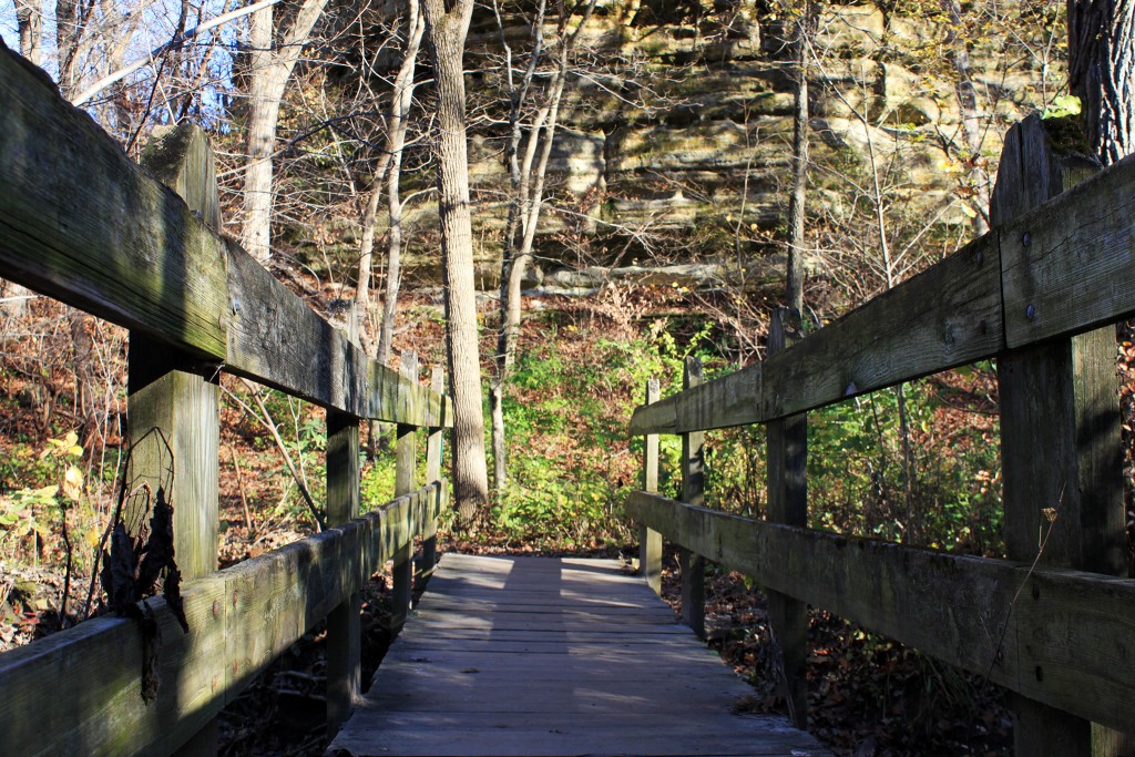
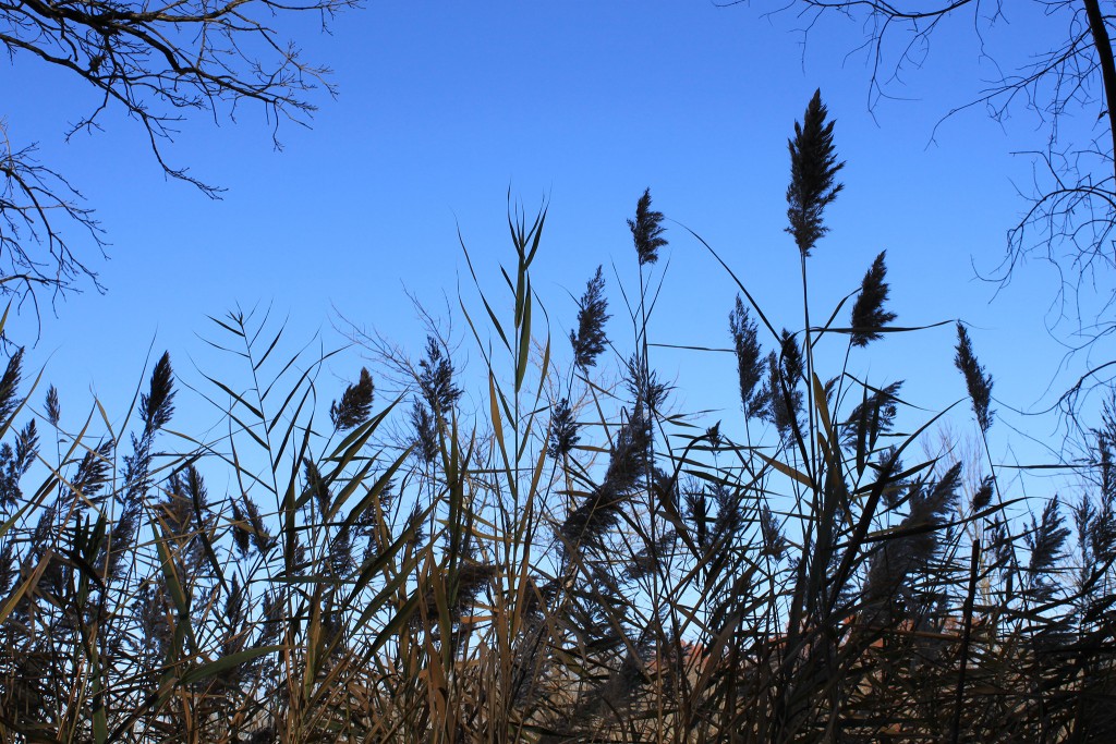
The hike into the park offers your typical Illinois vegetation: hackberry and pin oak trees, clumps of goldenrod and ironweed. When the winding path stops short, you’ll see the gap. From the canyon rim, your eyes will trick you. You’ll think the floor below is close, a reasonable, respectful, Midwestern distance. You’ll think the felled trees are thin, new growth and the scattered rocks, stepping stones.
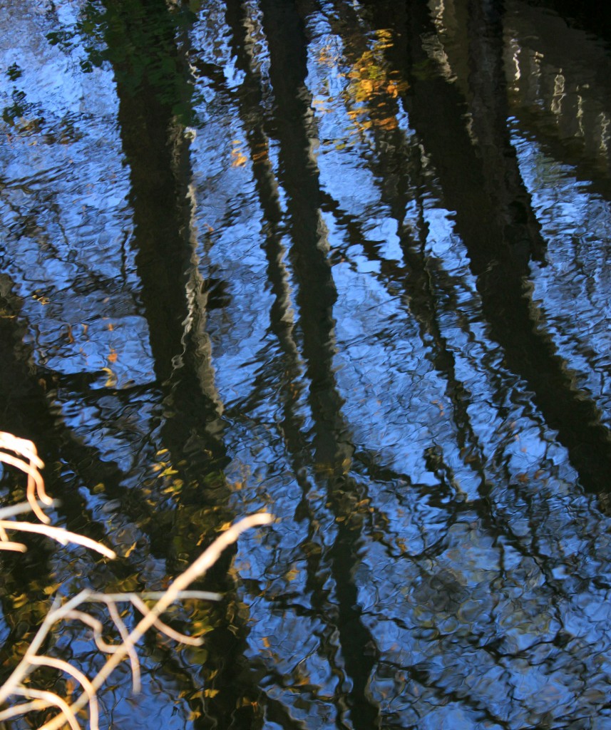
But then you’ll see people down below, humans made minuscule by distance and perspective. Bodies dwarfed by the rock walls, their voices carrying through the cavern, amplified by bowed basalt. In the valley, the stone changes color from gorge to gorge, sandy beige and deep umber at Cedar Point give way to silver and scarlet in the Devil’s Paint Box. Liverworts, mosses, and bracken ferns cling to the shady side of the canyon while the crisp fall sun pushes slender tree trunk shadows against the rough ridge.
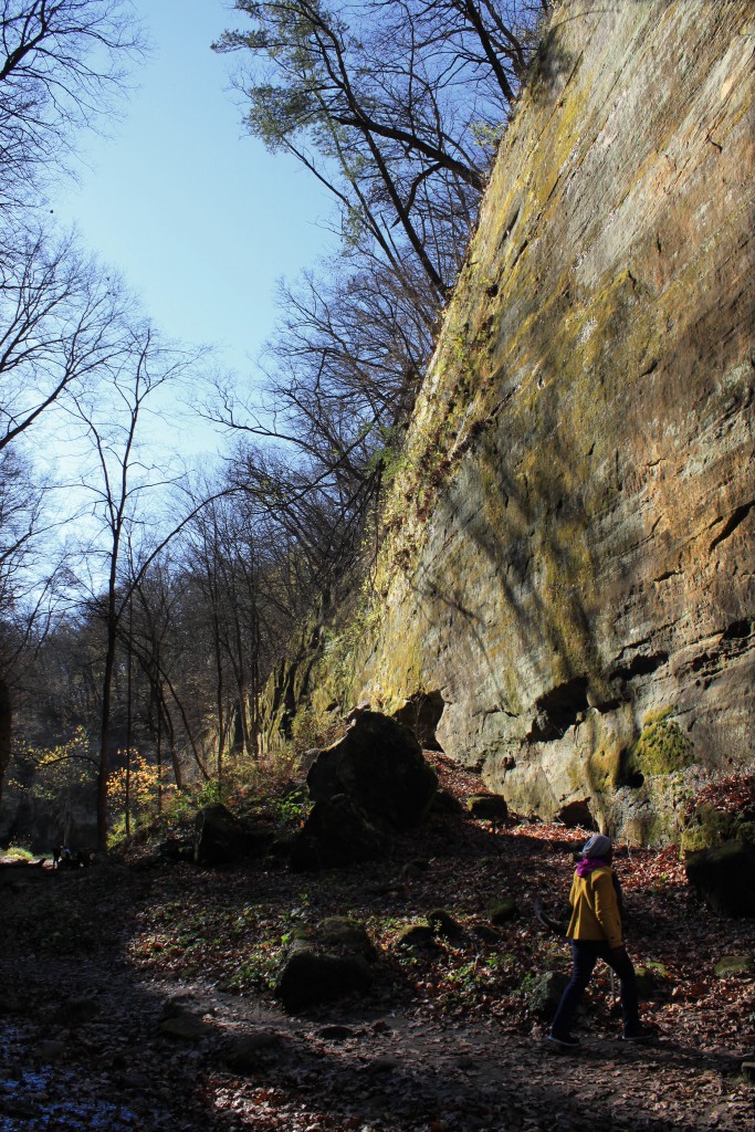
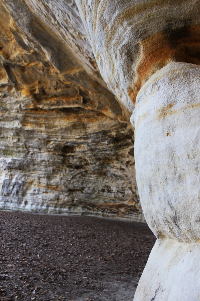
Just across Route 71 is the more popular Starved Rock State Park. Familiar and foreign in the lay of its land, wooded forests line steep yellow cliffs while shallow creeks wind through stark gray gulches. At the top of a long bluff stands Council Overhang, a geological outcropping that looks to have more in common with the moon than with the nearby prairie. Its great mouth yawns and hovers wide around us, the sandstone threatening to chomp closed in a few thousand years.
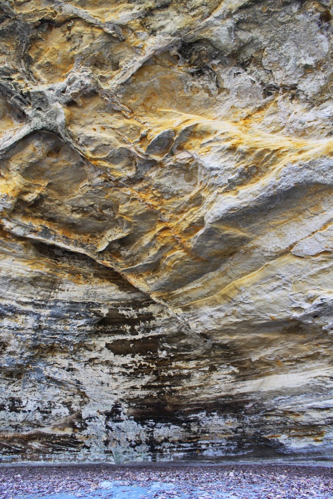
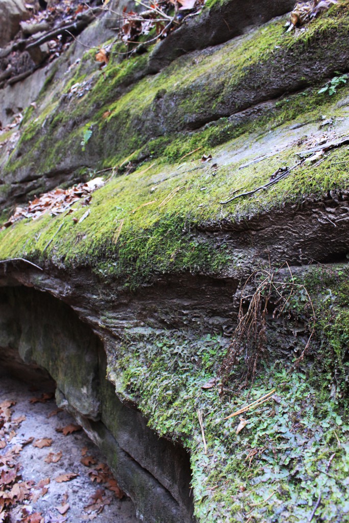
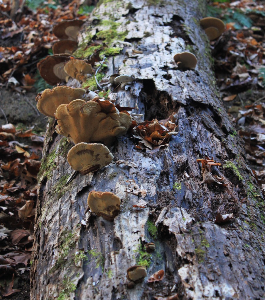
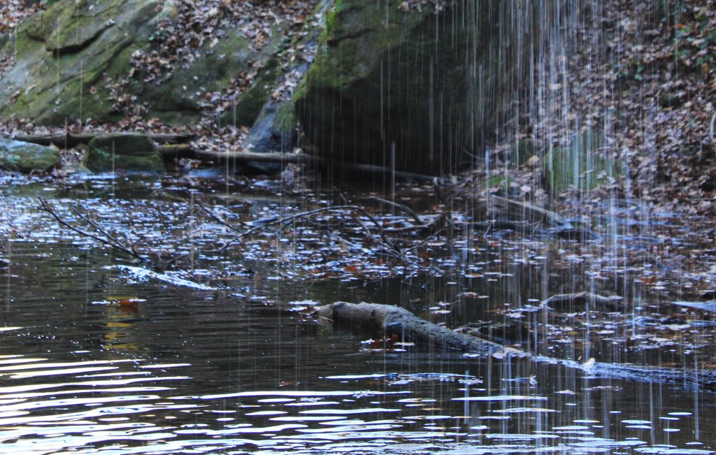
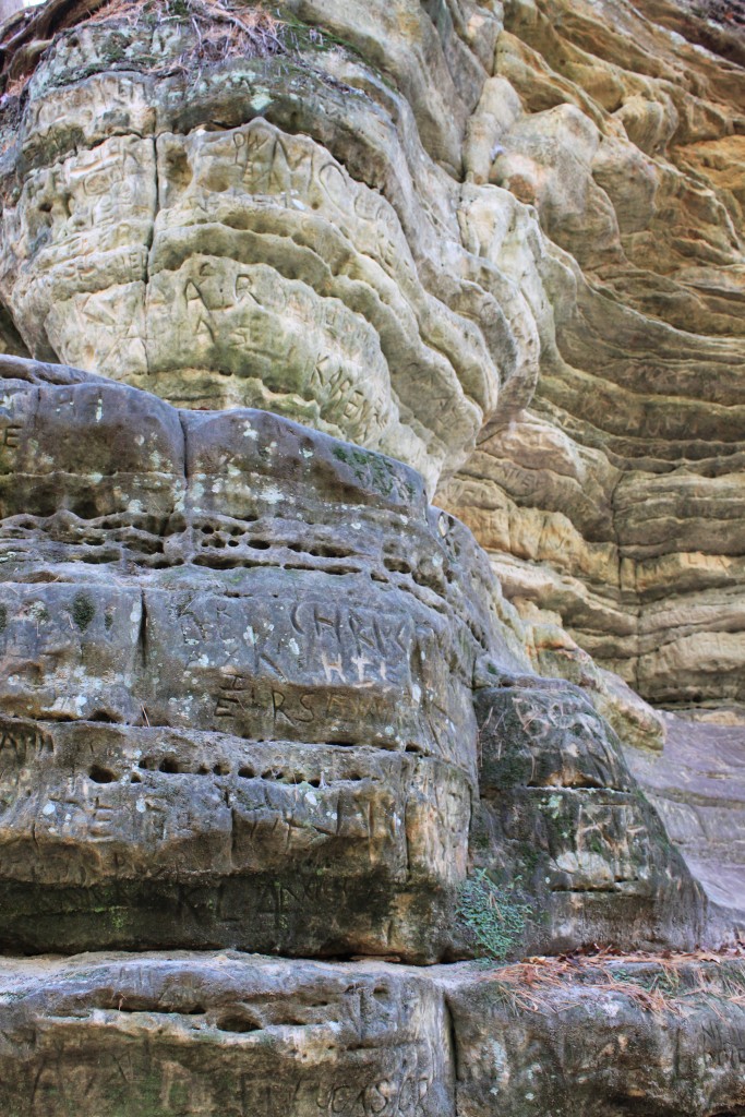
Curve around the bend and forge a few more stream crossings until you hear rushing water. At Ottawa Falls, the last of spring’s runoff cascades into a deep pool, mushrooms cling to dormant tree trunks, and names of wayward hikers are etched deep into sandy crag. The late afternoon light glows yellow in these hidden corridors, catching in thin-veined leaves, and reflecting off the grooved walls above.
These parks are magical in their incongruity, in their perfect strangeness within the greater context of the local landscape. This is an otherworldly place where farmland brushes right up against rocky ledge and canyon. An area that forces you to imagine its tense and fitful creation when ravines were violently carved from glacial rock and cliffs were blasted free from bluff.
After dinner at the lodge paired with pints of Starved Rock Signature Ale, our group began the two hour journey back to Chicago. We watched the hot, orange sun dip and then drop below the treeline, taking our day at the dells with it. The van pushed forward, back to flat land, back to the city.